








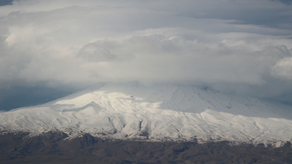
The Durupınar Formation, an elongated, oval-shaped structure near Doğubeyazıt in the Turkish province of Ağrı, is once again at the center of the search for Noah’s Ark. This summer, a team led by archaeologist Cenker Atila of Cumhuriyet University in Sivas and supported by the U.S.-based group Noah’s Ark Scans spent about 90 days in the field.
Researchers have combined surface mapping with LiDAR technology, drone imagery, thermal mapping, electrical resistivity tomography (ERT), and military-grade ground-penetrating radar. They have also collected soil samples through drilling and deployed Gopher—a tiny underground robot that, according to the Daily Mail, was originally designed to track wombats in Australia—into the boreholes.
According to Arkeonews, nearly 1,000 samples were collected at 150 locations, in addition to ceramic fragments whose age must be determined in a laboratory. The boreholes have reached a depth of 18 meters, compared to approximately 10 meters in previous excavations.
A 76-meter anomaly
According to the team’s preliminary data, BakhtarRadar—a specialized subsurface exploration system—did not show the formation as a simple, homogeneous rock mass. It detected an anomaly measuring about 76 meters in the central area—which the team compares to a tunnel or passageway—as well as some signals that appeared to intersect at angles close to 90 degrees. Initial measurements also recorded carbon levels about 40% higher inside the formation than outside it, according to the university.
Andrew Jones, founder of Noah’s Ark Scans, told Newsweek that they found layers rich in organic material and that a drill bit broke at a depth of four to five meters after striking a hard layer. Jones mentioned the possibility of mineralized wood, although it could simply be rock. The researchers themselves acknowledge that the radar images do not prove an archaeological origin.
“We’re 100% sure”
Despite this caution, the project’s public messaging is much more emphatic. Lauren Witzke, a former U.S. Senate candidate, Christian activist, and director of marketing and fundraising for Noah’s Ark Scans, asserts: “It’s not a rock; it’s a ship.” She adds: “We have the measurements, the data, the three levels—everything just as described in the Bible.”
Noah’s Ark Scans now claims that new radar data supports that interpretation, although this has yet to be independently validated. According to IFLScience, the group organizes guided tours of the site for $3,600 (about 3,100 euros).
Decades of skepticism
The formation is not located at the summit of the mountain: it lies about 29 kilometers south of Greater Ararat. In 1996, geologists Lorence Collins and David Fasold published a study describing it as a natural formation. Fasold had been studying it since 1985 and had come to believe it was the Ark, but he found that what had been presented as iron or beams were actually natural minerals and rocks, with no signs of petrified wood.
Skepticism extends even to the creationist community: Ken Ham, founder and CEO of Answers in Genesis, questions whether geophysical data has been evaluated in light of alternative interpretations. Other experts point out that there is no evidence that the world was ever submerged, although more localized floods could have inspired the biblical account.
What to Expect in 2027
The drill cores have been sent to Ankara. According to Newsweek, the first results of the analyses will be available in the winter of 2026–2027, and the team hopes to present a more comprehensive scientific paper in the spring of 2027. The university is also preparing a volume dedicated to the campaign, and plans to return to the field in 2027 if permits are granted. In the meantime, the results must undergo peer review by researchers outside the project, and so far they have not altered the prevailing geological explanation.

